Utility mapping is undeniably vital for preventing utility strikes, which can seriously complicate excavation and building projects. Utility strikes happen when excavation damages subterranean utilities. They may result in fatalities, expensive repairs, major injuries, and project delays.
Utility mapping software offers precise, up-to-date information on the locations of underground utilities, reducing these dangers. With the use of technologies like Ground Penetrating Radar (GPR) or Electromagnetic (EM) finding, subterranean utilities can be precisely located and mapped. Construction workers can ensure safer and more effective project execution by avoiding damaging subsurface utilities by employing utility mapping software.
Understanding Utility Strikes And Their Impact
Utility strikes can occur for several reasons:
- Unmarked or inaccurately marked utilities: Often, utilities are not marked correctly due to a very common reason- human error. This would mean that the exact location of the utilities is unknown, leading to a higher probability of hitting them.
- Incorrect as-built documentation: In certain cases, the records and maps provided before construction are outdated or incomplete. These inaccurate documents can mislead contractors and excavators, causing them to dig in the wrong places.
Consequences
The consequences of utility strikes can be severe:
- Injuries: Striking a utility line can lead to serious injuries or even fatalities. For example, hitting a gas line can cause explosions, while damaging electrical cables can result in electric shocks.
- Delays: When a utility strike occurs, the work must stop until the damage is addressed and it is safe to resume project activities. This causes significant delays in construction projects, affecting timelines and project completion dates.
- Financial losses: Repairing damaged utilities can be very expensive. Additionally, delays in the project can lead to increased labor costs and potential penalties for late completion.
According to the Common Ground Alliance’s (CGA) 2022 DIRT Report, nearly 34,000 utility strikes each year are due to locator errors. These errors account for 24% of all underground utility damage. Incorrect as-built documentation is another major cause, resulting in 3,558 reported utility strikes in 2022.
The Role Of Utility Mapping Software
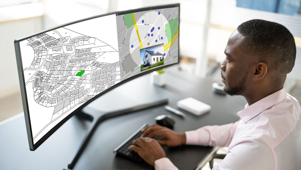
Utility mapping software is a specialized tool used to locate and map underground utilities accurately. This software helps construction and excavation teams identify the exact location of subsurface objects, such as pipes and cables, reducing the risk of damaging them.

Accurate utility mapping is crucial because it prevents costly mistakes, delays, and potential injuries, ensuring projects stay on time and within budget.
Core Features
- Ground Penetrating Radar (GPR) Integration: GPR is a key feature in utility mapping software. It sends radio waves into the ground and detects both metallic and non-metallic objects by interpreting the reflected signals. GPR is highly accurate and can locate various utilities, including electrical lines, water pipes, and sewer systems.
- Electromagnetic (EM) Locating Integration: EM locating detects electromagnetic signals from metallic pipes and cables. This technology can identify live electrical lines and other conductive materials, providing an additional layer of accuracy.
- Real-time data updating: Utility mapping software offers real-time data updates, allowing users to see the most current information about subsurface utilities. This feature is essential for making informed decisions during construction projects.
- Accurate mapping capabilities: The software provides precise mapping of underground utilities, ensuring that all data collected is accurate and reliable. This accuracy is vital for preventing utility strikes and maintaining project safety.
Advantages Over Traditional Methods
- Increased accuracy: Traditional methods of utility locating, such as using outdated maps or manual probing, are often inaccurate and prone to errors. Mapping software, with its advanced technologies like GPR and EM locating, offers significantly higher accuracy. This precision reduces the risk of hitting unknown utilities during excavation.
- Enhanced efficiency: Mapping software streamlines the process of locating and mapping utilities. Real-time data updates and accurate mapping capabilities allow teams to work more efficiently, reducing the time spent on site and minimizing project delays.
- Improved safety: By providing a clear and precise view of underground utilities, the software enhances safety for construction workers. Knowing the exact location of utilities helps prevent accidental strikes, which can cause serious injuries or fatalities.
- Cost savings: Accurate utility mapping helps avoid costly damages and delays. By preventing utility strikes, construction projects can stay within budget, avoiding unexpected repair costs and project extensions.
Implementing A Utility Mapping Technology Solution
- Select the right software: Start by choosing a reliable utility mapping software that meets your project needs. Look for features like real-time data updates, GPR or EM locating integration, and user-friendly interfaces.
- Assess your needs: Identify the specific requirements of your project. Understand what types of utilities you need to locate and map, and consider any unique site conditions.

- Acquire the necessary equipment: Ensure you have the appropriate tools and devices to use with the software, such as GPR or EM locators.
- Pilot testing: Perform a pilot test on a subset of your project to make sure the hardware and software function as intended. Make any necessary adjustments based on this test.
- Full implementation: Once the pilot is successful, roll out the utility mapping solution across the entire project site. Monitor progress and make improvements as needed.
PointMan Is The Ideal Solution
Utility strikes can cause severe damage, delays, injuries, and financial losses. Accurate utility mapping is the ideal way to prevent such incidents. Using advanced utility mapping software is essential to identify and locate subsurface utilities accurately. Whether you’re managing a large construction site or a smaller excavation project, having the right support services—such as Prime Dumpster porta potty rental—can help keep the job site safe, efficient, and compliant. This technology helps ensure that construction and excavation projects can proceed safely, on time, and within budget.
PointMan stands out as the ideal GIS underground utility mapping solution. It offers a range of robust features designed to reduce utility strikes effectively. PointMan integrates advanced technologies such as Ground Penetrating Radar (GPR) and Electromagnetic (EM) locating to provide only the most accurate and high-precision data of underground utilities.
A key strength that PointMan brings to the table is the capability to update real-time data. This ensures that all utility information is current and reliable, significantly reducing the risk of errors. Also, PointMan allows users to view, layer, and securely share collected data, making it accessible to all stakeholders throughout the construction lifecycle. PointMan’s user-friendly interface and detailed reporting features enable easy interpretation and use of the data, enhancing the overall efficiency of utility locating efforts. By ensuring precise mapping and storage of utility data, PointMan helps control costs, enhance safety, and prevent project delays.